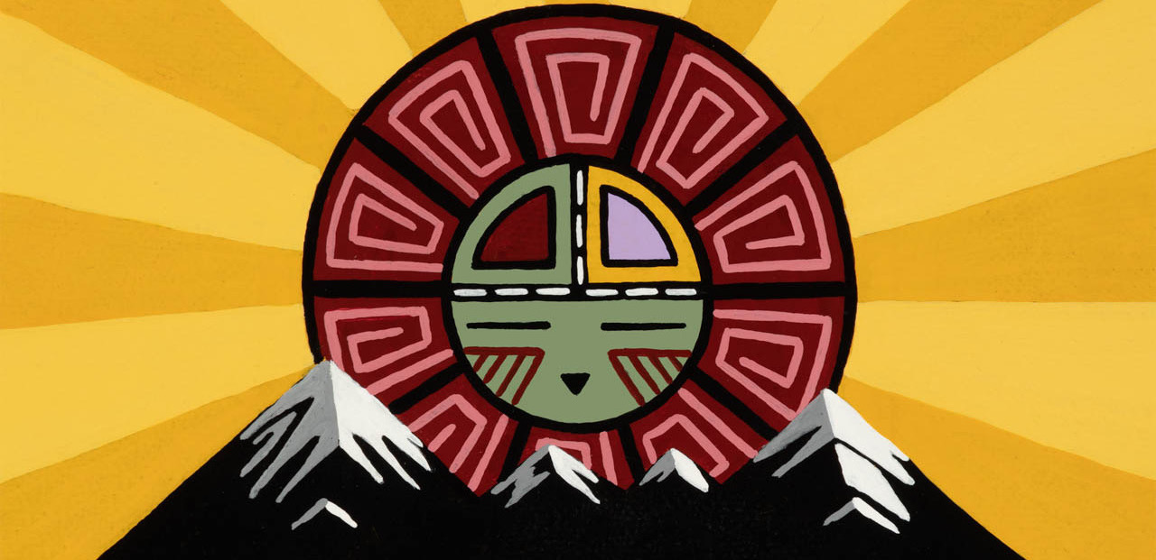
Artwork by Duane Koyawena.
Pinyons and Pines is an underground self-supported bikepacking event that starts and ends in Flagstaff, AZ (6,910 feet). The route is a magnificent tour of Northern Arizona, utilizing a mixture of singletrack, double track, and dirt roads. The start and finish are at Flagstaff Bicycle Revolution, located at 3 South Mikes Pike, sandwiched between Pizzicletta and Mother Road Brewery. The course changes each year! The 2025 edition of Pinyons and Pines will start at 6:00AM on Thursday, May 15 and is approximately 340 miles in length with 30,000 feet of climbing. The ride organizers are Dana Ernst and Dylan Turner. Please contact us with any questions or concerns.
Flagstaff sits at the base of the San Francisco Peaks, on homelands sacred to Native Americans throughout the region. The Peaks, which includes Humphreys Peak (12,633 feet), the highest point in Arizona, have religious significance to several Native American tribes. In particular, the Peaks form the Diné (Navajo) sacred mountain of the west, called Dook’o’oosłííd, which means “the summit that never melts”. The Hopi name for the Peaks is Nuva’tukya’ovi, which translates to “place-of-snow-on-the-very-top”. This year’s course traverses the ancestral homelands of the Hopi, Ndee/Nnēē (Western Apache), Yavapai, A:shiwi (Zuni Pueblo), and Diné (Navajo). We honor their past, present, and future generations, who have lived here for millennia and will forever call this place home.
Riders can choose between two categories: solo or duo (2-person team). Please consult the rules prior to registering for the event. Feel free to ask questions on the event’s Facebook group.
Important! This is an unsanctioned event. There are no fees, no prizes, but all attempts will be made to record your finish time. A start time and route are provided and it is up to the participant to understand the route. Riders have full responsibility for their navigation and well being. The goal is to finish the entire route while setting your own pace.
See below for the currently proposed route.
Below are some important notes, including information concerning resupply options for food and water. All mileages are approximate.
- Please consult the rules.
- Check out the Pinyons & Pines 2025 Course Preview with Dana & Dylan on YouTube!
- The northeastern part of the route crosses a checkerboard of State Trust and private lands of the CO Bar Ranch. Access to the ranchlands now requires a free permit available here; also see that page for ranch rules and requests. You must also purchase an Arizona State Land Department Recreation Permit.
- Important: Please consult the map above for additional water sources. We are including the ones here that we think are most likely to be utilized. Filter and/or treat all natural water sources.
- Miles 0-1.6: Neutral roll out for the first 1.6 miles. Folks can start riding at their own pace after the group hits the urban trail that climbs to Buffalo Park.
- Miles 10-11.3: Mandatory out and back to summit of Mount Elden (9301 feet).
- Mile 11.3-13: Technical descent of Sunset Trail. Please be careful and ride within your limits.
- Mile 25.1: Just south of tunnel that goes under Route 89, head southwest on double track to access Conoco Travel Center (open 24 hours).
- Mile 58.4: Lake Mary Country Store. Opening May 1st and open Wednesday through Sunday, Closed Monday/Tuesday Hours: 7am-6pm Wed-Sat, 7am-5pm Sundays.
- Mile 74: Weimer Spring. Spring is on left side of road. Walk a short way up hill to access spring.
- Mile 81.5: Dairy Springs Campground. To access campground, turn left on Mormon Mountain Trail and descent to campground. Water spigot should be on.
- Mile 82.6: If you continue on AZT instead of turning right on FS 240, you can access Double Spring Campground water spigot (and likely small creek). Water spigot should be on.
- Mile 96.3: There is a water spigot at the ADOT yard just after crossing Interstate 17. The spigot is located near a ramada in a grassy area by some houses. Residents don’t seem to mind us using it, but be respectful! If for some reason this spigot is turned off, you might consider riding north on the interstate to the town of Munds Park, where you’ll have access to food and water.
- Mile 107.8: Stay right at roundabout and head south to access Circle K.
- Mile 108.2: Lots of resupply options in the area.
- Mile 108.6: Tunnel under Route 89A.
- Mile 115.7: Famous Pizza and Layla’s Bakery.
- Mile 119.6: Seasonal creek.
- Mile 137.1: Shortly before the Casner climb, look for large gate on the east (right) side of the road with a small trail gate next to it. If you see “Trail 12 Mooney” you’re in the right spot. Go through the gate and a short bit down the road. There is an XL tank feeding a smaller trough with water that can be treated or filtered. Don’t forget to close the gate on the way back out. This is going to be an ideal spot to fill up before the looooong ascent back to Flagstaff to close the first loop.
- Mile 156.4: West Fork Tank. Potential water source at stock tank. Good idea to grab water here if you are running low.
- Mile 176.1: Woody Mountain General Store.
- Mile 176.6: Chevron gas station or continue east for another half mile to access Maverick gas station. Stock up on food and water here!
- Mile 182.2: Marathon gas station a short distance off route to northwest.
- Miles 202.1-212.5: Mandatory out and back to summit of O’Leary Peak (8919 feet). You will likely be cursing my name; don’t forget to enjoy the views!
- Mile 212.7: Depending on when you enter Sunset Crater National Monument, you may be stopped at the entrance booth. If you have a Parks Pass, bring it with you just in case. Just after passing the entrance booth, there is a Visitor’s Center on the right. There is drinking fountain outside that you can use to refill water. There is also a vending machine, but does not always work (and the staff in the Visitor’s Center do not always have the means to break change or help with the machine). There is also a bathroom that is sometimes open after hours, but do not assume it will be open. It’s a long way to the next guaranteed water source!
- Mile 218.6: Potential water source at stock tank.
- Miles 233-248: You will be in the vicinity of SP Crater. There is a seasonal golden eagle closure for the crater that will be in effect. We have permission to ride through, but do not camp within 5 miles of the crater. And definitely do not climb the crater!
- Mile 253.4: AZT cache box hidden in a cluster of trees. We will cache water here. Each rider may take up to 2 liters of water. Do not take any food or water that not marked as public!
- Mile 262.1: Potential water source at stock tank. About 5+ minute walk off the course, hiking uphill through the Slate Mountain burn scar with many downed trees. It’s not a bad walk, but I would not drag my bike up there.
- Mile 265.7: Potential water source at spring a short distance to the south of the road.
- Mile 270.1: Tip Top Tank. Potential water source, but usually a muddy puddle.
- Mile 278.7: Turn right on FS 76 to access the Spring Valley Cabins. The cabin is a short distance off route to the south. There is a water spigot at one of the cabins, but it is not always on!
- Mile 287: Parks General Store.
- Mile 287.6: Texaco gas station.
- Mile 292.6: Intead of turning left, you could continute straight for a few miles to reach the Pilot Travel Center and McDonald’s in Bellemont, which is open 24 hours.
- Mile 316.6: Alfa Fia Tank is a short distance off route to the west.
- Miles 329.9-332.4: Either utilize the bike lane on the right side of the road or feel free to use the bike path that is on the left side of the road and then crosses over to the right side of the road. We think the bike lane is safer since you won’t need to cross the road.
- Mile 333: Finish at Sosta! Pat yourself on the back, sign the finishers sheet, be happy.
Paid Parking Options
- Amtrak Parking Lot: Across the street from the race start. Permit for 1, 3, and 7 day increments available. 7 day is $56. Park in overnight Amtrak lot located here. More information here.
- San Francisco Parking Garage - 1 mile from race start. Pay upon exit at a parking garage - $3/hr; $12/day. Located at 1101 Skydome Dr. More information here and here.
- Knolls Parking Garage - 1 mile from race start. Pay upon exit at a parking garage - $3/hr; $12/day. Located at 1300 S Knoles Dr. More information here and here.
Free Parking Options Close to Downtown
The immediate downtown Flagstaff area is regulated by ParkFlag - this is a pay by the hour service and not for multi-day overnight parking. There are free public parking spots outside of the immediate downtown area within a mile or so of the start. Be sure to check all street signage and reference the ParkFlag map to be sure you are outside of the paid parking areas. Don’t block any locals driveways. More information at ParkFlag.
Dispersed Camping Options
Flagstaff has many campgrounds, designated dispersed camping, and BLM dispersed camping options. Go here for more information.