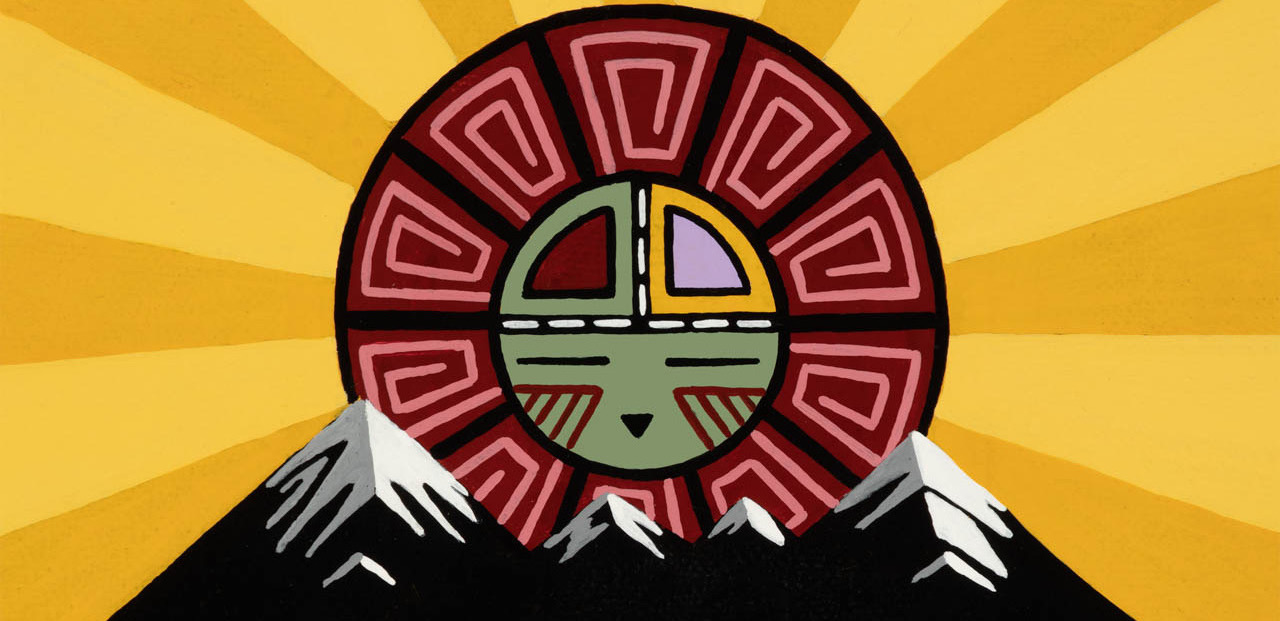
Artwork by Duane Koyawena.
2021 Course Description
Pinyons and Pines is an underground self-supported bikepacking route that starts and ends in Flagstaff, AZ (6,910 feet). The route is a magnificent tour of Northern Arizona, utilizing a mixture of singletrack, double track, and dirt roads. The start and finish are at Flagstaff Bicycle Revolution, located at 3 South Mikes Pike, sandwiched between Pizzicletta and Mother Road Brewery. The 2021 edition of Pinyons and Pines will start at 6:00AM on Thursday, May 20. The course changes each year and for 2021 we are going to mix things up a bit. This year’s course will be roughly 300 miles and will consist of one big southern loop. In light of the COVID-19 pandemic, which will still be an issue in May, we will cap the total number of riders at 50. Riders will also be required to wear masks and use hand sanitizer when resupplying. The ride organizer is Dana Ernst. Please contact me with any questions or concerns.
Flagstaff sits at the base of the San Francisco Peaks, on homelands sacred to Native Americans throughout the region. The Peaks, which includes Humphreys Peak (12,633 feet), the highest point in Arizona, have religious significance to several Native American tribes. In particular, the Peaks form the Diné (Navajo) sacred mountain of the west, called Dook’o’oosłííd, which means “the summit that never melts”. The Hopi name for the Peaks is Nuva’tukya’ovi, which translates to “place-of-snow-on-the-very-top”. This year’s course traverses the ancestral homelands of the Hopi, Ndee/Nnēē (Western Apache), Yavapai, A:shiwi (Zuni Pueblo), and Diné (Navajo). We honor their past, present, and future generations, who have lived here for millennia and will forever call this place home.
Important! This is an unsanctioned event. There are no fees, no prizes, but all attempts will be made to record your finish time. A start time and route are provided and it is up to the participant to understand the route. Riders have full responsibility for their navigation and well being. The goal is to finish the entire route while setting your own pace.
Here is the route for 2021.
This year’s route is a departure from what we’ve done the past two years. The current draft is 302 miles with 25,000 feet of climbing. Riders can choose to ride the route counterclockwise or clockwise. Some general comments (assuming counterclockwise direction):
- I’ve added POIs for potential water sources, but it’s important to point out that these are potential and not guarantees. I suggest reading the notes I added to each POI.
- The route will pass through the towns of Parks, Jerome, Camp Verde, Strawberry, and Pine. In addition, Mormon Lake Village isn’t too far off route.
- The first half of the route is spectacular in my opinion. The section on Mingus Mountain after Jerome is particularly awesome. I hope most of you can see this part during daylight. There isn’t much single track on the first half, but you will not be disappointed.
- There is 10+ miles of pavement near Camp Verde. There is a good shoulder for pretty much all of this, but I suggest you use a tail light.
- The Camp Verde area has the potential to be the warmest part of the course, but most people will be passing through during the evening on the first day or early in the morning on the second day.
- The second half of the course has a lot of single track on it and will certainly take longer than the first half.
- There is some hike-a-bike around miles 177-179 as we gain the Mogollon Rim and miles 262-264 as we ascend Mormon Mountain.
- You are allowed to camp along the first 10 miles of Fossil Springs Road, but after mile 10, you are not allowed to camp for roughly the next 10 miles.
Comments about water and resupply:
- Mile 17.5: short detour to Bellemont truck stop.
- Mile 24.6: Town of Parks (gas station and general store)
- Mile 41.6: Whitehorse Lake Campground. Water spigot should be on.
- Mile 72.3: Verde River. Easy access to water.
- Mile 89.3: Town of Jerome. If you plan to stop here, plan on it taking a while. I’ll likely stop at the Flatiron Cafe.
- Mile 99.3 (approximate): There is a piped spring on the right. It was flowing strong a couple months ago, but no guarantees that it is still flowing.
- Mile 133: Town of Camp Verde. A few 24 hours options.
- Mile 141.7: Clear Creek Campground. Water spigot.
- Mile 158.3: Fossil Creek. You can easily access river in a few spots. However, the mineral content of the water is very high, so you might want to skip getting water here.
- Mile 169.2: Town of Strawberry. Limited hours, so plan accordingly. The PIEbar is excellent if it is open when you pass through.
- Mile 173.5: Town of Pine. Route passes the Ponderosa Market (grocery store), but hours are limited, so plan accordingly. Uncle Tom’s Kwik Stop is roughly a half mile to the north on HWY 260. There is a water dispenser outside that is available 24 hours per day. You need quarters to use the machine.
- Mile 179.6 (approximate): After topping out on Donahue Trail, there is a stock tank with water in it.
- Mile 204.5: Aspen Spring. Usually flowing, but the Stempke’s tell me that it is nothing but a trickle.
- Mile 205.8: The trail crosses a small creek near Pinchot Spring.
- Mile 212.6: Water in Clear Creek at bottom of Barbershop Canyon.
- Mile 218.9: Instead of crossing over HWY 87, turn left and ride a short distance to ranger station. There is a water spigot behind the first building on the right.
- Mile 239.3: Bargaman Tank. This stock tank likely has water in it.
- Mile 255.3: Detour to town of Mormon Lake if you are in need of food, etc.
- Mile 259.9: Double Spring Campground water spigot (and likely small creek). Water spigot should be on.
- Mile 261.6: Dairy Springs Campground. Where the route turns to head up Mormon Mountain, instead turn right and descent to campground. Water spigot should be on.
- Mile 268.3: Weimer Spring. I checked this out a week or so ago and there wasn’t much water.
- Mile 283.1: Lake Mary Country Store.
- Mile 286.7: Detour to Upper Lake Mary. Instead of turning up towards Marshall Lake, continue on Lake Mary Road until you see the lake. Scramble down near fenced parking area.