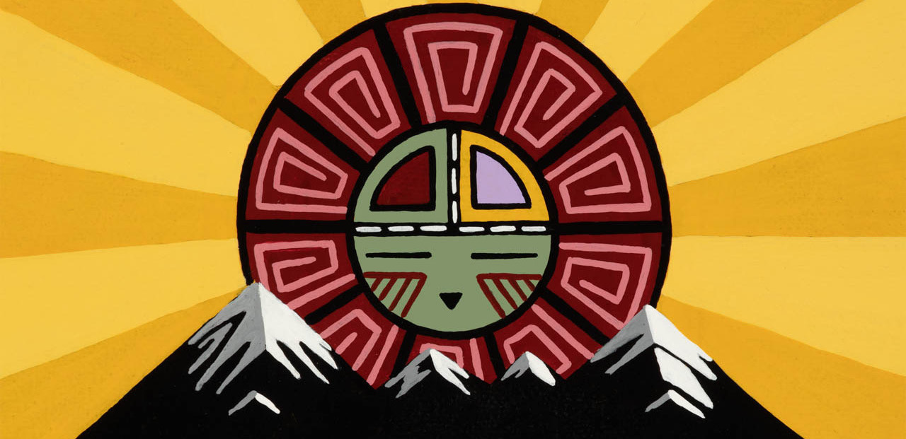
Artwork by Duane Koyawena.
Pinyons and Pines is an underground self-supported bikepacking ride that starts and ends in Flagstaff, AZ (6,910 feet). The route is a magnificent tour of Northern Arizona, utilizing a mixture of singletrack, double track, and dirt roads. The start and finish are at Flagstaff Bicycle Revolution, located at 3 South Mikes Pike, sandwiched between Pizzicletta and Mother Road Brewery. The course changes each year, but is typically around 300 miles. The 2022 edition of Pinyons and Pines will start at 6:00AM on Thursday, May 12 and will be roughly 310 miles. In light of the COVID-19 pandemic, riders are asked to wear masks and use hand sanitizer when resupplying. The ride organizer is Dana Ernst. Please contact me with any questions or concerns.
Flagstaff sits at the base of the San Francisco Peaks, on homelands sacred to Native Americans throughout the region. The Peaks, which includes Humphreys Peak (12,633 feet), the highest point in Arizona, have religious significance to several Native American tribes. In particular, the Peaks form the Diné (Navajo) sacred mountain of the west, called Dook’o’oosłííd, which means “the summit that never melts”. The Hopi name for the Peaks is Nuva’tukya’ovi, which translates to “place-of-snow-on-the-very-top”. This year’s course traverses the ancestral homelands of the Hopi, Ndee/Nnēē (Western Apache), Yavapai, A:shiwi (Zuni Pueblo), and Diné (Navajo). We honor their past, present, and future generations, who have lived here for millennia and will forever call this place home.
Important! This is an unsanctioned event. There are no fees, no prizes, but all attempts will be made to record your finish time. A start time and route are provided and it is up to the participant to understand the route. Riders have full responsibility for their navigation and well being. The goal is to finish the entire route while setting your own pace.
Here is the route for 2022.
Detailed Course Description
After several changes to the originally-proposed route (some at the last minute), this year’s route is 310 miles with 24,000 feet of climbing. The intention is for riders to ride the route counterclockwise, but there are a handful that are intending to ride the loop clockwise. Some general comments (assuming counterclockwise direction):
- Please consult the rules.
- The start and finish is at Flagstaff Bicycle Revolution. If no one is at the finish to greet you, put your finish time on the sign in sheet that will be in the mailbox.
- Neutral roll out for the first 4.1 miles. Folks can start riding at their own pace after the group crosses Route 180.
- The group will still be large when reaching Fort Valley Road (Route 180). There is a stop light where the route crosses the road. Do not run this stop light!
- The route will pass through the towns of Williams, Jerome, and Camp Verde. In addition, Mormon Lake Village isn’t too far off route.
- We descend the Mingus Black Canyon Trail at miles 148.5-156.5. This trail is magnificent. However, it has quite a bit of exposure and there are a few places you do not want to fall. Be careful when descending this trail! When in doubt, walk your bike.
- There are several significant sections of pavement, but I’m confident you’ll be grateful most of the times you are on it. With the exception of the section around Camp Verde (miles 160-178), there is minimal car traffic. Thankfully there is a good shoulder for most of the stretch near Camp Verde. However, I suggest everyone use a tail light while riding the pavement sections.
- As with all long rides in the southwest, water is always a challenge. I have added POIs for potential water sources that I am aware of. However, it is important to point out that these are potential sources and not guarantees. I suggest reading the notes I added to each POI. Plan accordingly.
- The Camp Verde area has the potential to be the warmest part of the course. Plan accordingly.
- Unless you can actually see another rider coming behind you, always close a gate you open.
Comments about water and resupply:
- Mile 38.7: Potential water source at stock tank on north side of road. Water needs to be filtered/treated.
- Mile 38.8: Spring-fed concrete tank on south side of road. Water needs to be filtered/treated.
- Mile 43: Potential water source at Tip Top Tank is on your right. Water needs to be filtered/treated.
- Mile 76.3: Gas station on the right.
- Mile 83.5: Town of Williams. All services including McDonald’s and Safeway. Plenty of options for a sit down meal if you arrive during open hours.
- Mile 92.1: Coleman Lake. Water needs to be filtered/treated.
- Mile 96.3: Potential water source at MC Tank on the left. Water needs to be filtered/treated.
- Mile 101.1: Potential water source at DT Tank on the right. Water needs to be filtered/treated.
- Mile 117.5: Verde River. Easy access to water. Water needs to be filtered/treated.
- Mile 134.2: Town of Jerome. Limited services and limited hours. Flatiron Cafe and Haunted Hamburger and good places to stop for a meal. There may also be access to water at the fire station.
- Mile 144.7: Copper Chief Spring is a piped spring on the right. No guarantees that this spring is still flowing. Water needs to be filtered/treated.
- Mile 146.3: Allen Spring flows out of a large pipe on the downhill side of the road. Easy to miss if you aren’t listening for the water flowing. No guarantees that this spring is still flowing, but it usually is during May. Water needs to be filtered/treated.
- Mile 169.9: Camp Verde. A few 24 hours options.
- Mile 172.5: 76 Gas Station.
- Mile 177: Dollar General.
- Mile 177.8: Clear Creek Campground is located about a mile off route. Continue on pavement passed the turn onto FS 618 to the turn to the campground. Water spigot at campground.
- Mile 182.1: There’s a cattle trough on the left that’s fed via float (operational, good clean water coming out of it).
- Mile 193.4: Twin Buttes tank is full. Very muddy water and plenty of cattle around.
- Mile 196.2: Windmill Tank. Should have clear-ish/nice water.
- Mile 204.5: Creek crossing has large pools of clear water.
- Mile 207.7: Creek crossing has large pools of clear water.
- Mile 209.7: Wildlife Preserve area, fenced with large amounts of water.
- Mile 231.4: Detour to Mormon Lake Village. Limited services with limited hours. If you leave the route to access Mormon Lake Village, you need to return to the route where you left it.
- Mile 236.5: Double Spring Campground water spigot (and likely small creek). Water spigot should be on.
- Mile 238.3: Dairy Springs Campground. Where the Mormon Mountain Trail crosses the AZT, turn right and descent to campground. Water spigot should be on.
- Mile 245.6: Potential water source at Weimer Spring. The spring is a short walk to the south. Water needs to be filtered/treated.
- Mile 260.6: Lake Mary Country Store.
- Mile 264: Detour to Upper Lake Mary. Instead of turning up towards Marshall Lake, continue on Lake Mary Road until you see the lake. Scramble down near fenced parking area. Water needs to be filtered/treated.
- Mile 290.1: Just south of tunnel that goes under Route 89, head southwest on double track to access Conoco Travel Center (open 24 hours).