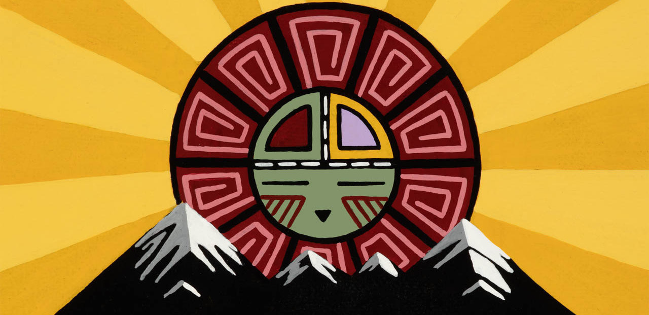
Artwork by Duane Koyawena.
Pinyons and Pines is an underground self-supported bikepacking event that starts and ends in Flagstaff, AZ (6,910 feet). The route is a magnificent tour of Northern Arizona, utilizing a mixture of singletrack, double track, and dirt roads. The start and finish are at Flagstaff Bicycle Revolution, located at 3 South Mikes Pike, sandwiched between Pizzicletta and Mother Road Brewery. The course changes each year, but is typically around 300 miles. New for 2023, there will be a 300+ mile course and a 500+ course to choose from. The 2023 edition of Pinyons and Pines will start at 6:00AM on Thursday, May 18. The ride organizers are Dana Ernst and Dylan Turner. Please contact us with any questions or concerns.
Flagstaff sits at the base of the San Francisco Peaks, on homelands sacred to Native Americans throughout the region. The Peaks, which includes Humphreys Peak (12,633 feet), the highest point in Arizona, have religious significance to several Native American tribes. In particular, the Peaks form the Diné (Navajo) sacred mountain of the west, called Dook’o’oosłííd, which means “the summit that never melts”. The Hopi name for the Peaks is Nuva’tukya’ovi, which translates to “place-of-snow-on-the-very-top”. This year’s course traverses the ancestral homelands of the Hopi, Ndee/Nnēē (Western Apache), Yavapai, A:shiwi (Zuni Pueblo), and Diné (Navajo). We honor their past, present, and future generations, who have lived here for millennia and will forever call this place home.
Riders can choose between two categories: solo or duo (2-person team). Please consult the rules prior to registering for the event. Feel free to ask questions on the event’s Facebook group.
Important! This is an unsanctioned event. There are no fees, no prizes, but all attempts will be made to record your finish time. A start time and route are provided and it is up to the participant to understand the route. Riders have full responsibility for their navigation and well being. The goal is to finish the entire route while setting your own pace.
Short Route
The short route is approximately 330 miles with 27,000 feet of climbing. Here is the proposed route:
Below are some important notes, including information concerning resupply options for food and water. All mileages are approximate.
- Please consult the rules.
- You must purchase an Arizona State Land Department Recreation Permit as part of the course passes across state trust land. Permits can be purchased online. An annual permit is $15.
- The start and finish is at Flagstaff Bicycle Revolution. If no one is at the finish to greet you, put your finish time on the sign in sheet that will be in the mailbox to the right of the door.
- Neutral roll out for the first 4.5 miles. Folks can start riding at their own pace after the group crosses Mountain Dell Road.
- The short and long routes overlap for the first 97 miles.
- Important: It’s a long way from the start to the first reliable water. Moreover, it’s likely to be hot after dropping down off the rim into Sedona/Cottonwood. Be sure to start with enough water!
- Mile 37-41: Be careful descending Casner Mountain Trail! This is the most serious part of the route. Word on the street is that the descent is in rough shape. Also, its harder getting to this point than you’d expect.
- Mile 25: West Fork of Oak Creek. Consider filling up on water here. It’s still a long way to Cottonwood. Water needs to be filtered/treated.
- Mile 31: Stock tank on right side of road just before making left turn. Water needs to be filtered/treated.
- Mile 65.5: Verde Valley Bicycle Company is right on route. Several restaraunts nearby.
- Mile 66.5: 24 hour Maverick. Prepare for the long climb ahead!
- Mile 77.5: Copper Chief Spring is a piped spring on the right. No guarantees that this spring is still flowing. Water needs to be filtered/treated.
- Mile 79: Allen Spring flows out of a large pipe on the downhill side of the road. Easy to miss if you aren’t listening for the water flowing. No guarantees that this spring is still flowing, but it usually is during May. Water needs to be filtered/treated.
- Mile 111.5: Camp Verde. A few 24 hours options.
- Mile 112.5: A few more resupply options a short ways off route to the east.
- Mile 114.5: 76 Gas Station.
- Mile 118.5: Dollar General.
- Miles 119.5-152: Climb forever and enjoy the changing scenery.
- Mile 131: Route crosses Wet Beaver Creek. To access creek, cross bridge, take next left and work your way to creek. Water needs to be filtered/treated.
- Mile 131.5: There is a water spigot at the Beaver Creek Work Station. It’s not clear whether this spigot is open to the public, but I’ve used it in the past.
- Miles 156-175: Enjoy the smooth pavement of Lake Mary Road. Good shoulder the whole way.
- Mile 160: Water spigot behind the Happy Jack Ranger station. Not clear whether this spigot is open to public, but cyclists occasionally use it.
- Mile 173: Happy Jack Lodge. Restaraunt and store.
- Mile 175.5: Mustang Gas Station (open 7am-6pm). Very friendly staff.
- Mile 176.5: Fuller Tank. Water needs to be filtered/treated.
- Mile 181: East Clear Creek. Water needs to be filtered/treated.
- Mile 183: Seasonal creek. Water needs to be filtered/treated.
- Mile 183.5: Seasonal creek. Water needs to be filtered/treated.
- Mile 186.5: Campsite with a view!
- Mile 188: Kehl Spring Campground. Sometimes there is a portable water tank at campground host. There is a spring uphill and west of entrance to campground.
- Mile 203: Aspen Spring. Usually flowing. Water needs to be filtered/treated.
- Mile 211: Water in Clear Creek at bottom of Barbershop Canyon. Water needs to be filtered/treated. Climb up out of Barbershop Canyon.
- Mile 217.5: Instead of crossing over HWY 87, turn left and ride a short distance to ranger station. There is a water spigot behind the first building on the right.
- Miles 219-263: Follow Arizona Trail. This stretch often takes longer than you’d expect.
- Mile 255: If necessary, detour to town of Mormon Lake if you are in need of food, etc.
- Mile 258.5: Double Spring Campground water spigot (and likely small creek). Water spigot should be on.
- Mile 260: Dairy Springs Campground. To access campground, turn right on Mormon Mountain Trail and descent to campground. Water spigot should be on.
- Mile 267.5: Weimer Spring. Spring is on left side of road. Walk a short way up hill to access spring.
- Mile 282.5: Lake Mary Country Store.
- Mile 283: Easy access to Lower Lake Mary. Water needs to be filtered/treated.
- Miles 288-326: Almost all single track! Please be careful descending Big Bang Trail. There are a couple rocks that could catch your handlebars and send you flying.
- Mile 311: Just south of tunnel that goes under Route 89, head southwest on double track to access Conoco Travel Center (open 24 hours).
- Mile 330.5: Arrive back at Flagstaff Bicycle Revolution. Pat yourself on the back and sign the finishers sheet located in the mailbox to the right of the door.
Long Route
The long route is approximately 526 miles with 46,000 feet of climbing. Here is the proposed route:
Below are some important notes, including information concerning resupply options for food and water. All mileages are approximate.
- Please consult the rules.
- You must purchase an Arizona State Land Department Recreation Permit as part of the course passes across state trust land. Permits can be purchased online. An annual permit is $15.
- The start and finish is at Flagstaff Bicycle Revolution. If no one is at the finish to greet you, put your finish time on the sign in sheet that will be in the mailbox to the right of the door.
- Neutral roll out for the first 4.5 miles. Folks can start riding at their own pace after the group crosses Mountain Dell Road.
- The short and long routes overlap for the first 97 miles.
- Important: It’s a long way from the start to the first reliable water. Moreover, it’s likely to be hot after dropping down off the rim into Sedona/Cottonwood. Be sure to start with enough water!
- Mile 37-41: Be careful descending Casner Mountain Trail! This is the most serious part of the route. Word on the street is that the descent is in rough shape. Also, its harder getting to this point than you’d expect.
- Mile 25: West Fork of Oak Creek. Consider filling up on water here. It’s still a long way to Cottonwood. Water needs to be filtered/treated.
- Mile 31: Stock tank on right side of road just before making left turn. Water needs to be filtered/treated.
- Mile 65.5: Verde Valley Bicycle Company is right on route. Several restaraunts nearby.
- Mile 66.5: 24 hour Maverick. Prepare for the long climb ahead!
- Mile 77.5: Copper Chief Spring is a piped spring on the right. No guarantees that this spring is still flowing. Water needs to be filtered/treated.
- Mile 79: Allen Spring flows out of a large pipe on the downhill side of the road. Easy to miss if you aren’t listening for the water flowing. No guarantees that this spring is still flowing, but it usually is during May. Water needs to be filtered/treated.
- Miles 103-126.5: Follow single track. Some of this section is seldom used and may be hard to follow in a few spots.
- Mile 118: Agua Fria River. May or may not have water. Water needs to be filtered/treated.
- Mile 123.5: You can detour to the southwest on Route 69 (pavement) to gas station in Spring Valley. If you continue for a few more files, you’ll reach Cordes Junction.
- Mile 132: 24 Hour Circle K is a short distance off route to the north. You’ll pass by this way a second time at mile 202. Great ready to climb!
- Mile 140: Wolf Creek. May or may not have water. Water needs to be filtered/treated. You’ll pass by this way a second time at mile 194.
- Mile 142: Pine Creek. May or may not have water. Water needs to be filtered/treated. You’ll pass by this way a second time at mile 192.
- Mile 143: Turkey Creek. May or may not have water. Water needs to be filtered/treated. You’ll pass by this way a second time at mile 191.
- Miles 146-156: Turn right at mile 156! You’ll return to this intersection at mile 188. This stretch is challenging and there will be some hike-a-bike. If you are lucky, you’ll see folks panning for gold.
- Mile 147.5: Turkey Creek. May or may not have water. Water needs to be filtered/treated.
- Mile 149: Turkey Creek. May or may not have water. Water needs to be filtered/treated.
- Miles 158-174.5: Enjoy the amazing single track!
- Mile 161: Water spigot in campground. Turn right and ride a very short way.
- Mile 164.5: There is a 24 hour AM PM gas station short distance off route. There is also Costco, Trader Joes, and Wildflower nearby. Just after passing through gate, ride out to road and turn left onto pavement.
- Mile 177.5: Wolf Creek. May or may not have water. Water needs to be filtered/treated.
- Mile 180.5: Hassyampa River. May or may not have water. Water needs to be filtered/treated.
- Mile 185.5: Starlight Canyon pools. May or may not have water. Water needs to be filtered/treated.
- Mile 191: Turkey Creek. May or may not have water. Water needs to be filtered/treated.
- Mile 192: Pine Creek. May or may not have water. Water needs to be filtered/treated.
- Mile 194: Wolf Creek. May or may not have water. Water needs to be filtered/treated.
- Mile 202: 24 Hour Circle K is a short distance off route to the north.
- Mile 219: Seasonal creek. May or may not have water. Water needs to be filtered/treated.
- Mile 224: Bishop Creek. May or may not have water. Water needs to be filtered/treated.
- Mile 232.5: Metal livestock tank on west side of road. May or may not have water. Water needs to be filtered/treated.
- Mile 237: Sycamore Creek. May or may not have water. Water needs to be filtered/treated.
- Mile 239.5 Little Sycamore Creek. May or may not have water. Water needs to be filtered/treated.
- Mile 264: McDonald’s and other 24 hour options are off route to the north on Route 260.
- Mile 265.5 24 hour Maverick and Circle K just off route to the west.
- Mile 266.5: 76 gas station. Not as good a choice as the Maverick and Circle K.
- Mile 271: Dollar General.
- Miles 272-305: Climb forever and enjoy the changing scenery.
- Mile 283.5: Route crosses Wet Beaver Creek. To access creek, cross bridge, take next left and work your way to creek. Water needs to be filtered/treated.
- Mile 283.5: There is a water spigot at the Beaver Creek Work Station. It’s not clear whether this spigot is open to the public, but I’ve used it in the past.
- Miles 308-320.5: Turn right onto Lake Mary Road and enjoy the many miles of smooth pavement. Good shoulder.
- Mile 312: Water spigot behind the Happy Jack Ranger station. Not clear whether this spigot is open to public, but cyclists occasionally use it.
- Miles 330-351.5: Route overlaps with short course, but they will be going in the opposite direction. It’s possible the front runners will encounter folks riding the short course.
- Mile 331.5: Instead of crossing over HWY 87, turn righ and ride a short distance to ranger station. There is a water spigot behind the first building on the right.
- Mile 338: Water in Clear Creek at bottom of Barbershop Canyon. Water needs to be filtered/treated. Climb up out of Barbershop Canyon.
- Mile 346: Aspen Spring. Usually flowing. Water needs to be filtered/treated.
- Mile 375.5: Woods Canyon Lake Store and campground is about 1.5 miles off route to the north. Store hours are 8am-5pm.
- Miles 377-386: Lots of single track! The first 3/4 mile of Military Sinkhole Trail is a gutter of rocks, but then turns into a beautiful trail. The section of Highline Trail we are doing is spectacular.
- Mile 385.5: Christopher Creek. Water needs to be filtered/treated.
- Mile 387.5: Landmark Restaurant and Creekside Tavern are a short distance off route to the east.
- Miles 388.5-392.5: We will ride along Highway 260. The shoulder is huge and it’s all down hill, so over with quickly.
- Miles 392.5-394.5: Several places to access Tonto Creek. There are also a few pit toilets along the way.
- Mile 410.5: East Verde River. Should have water. Water needs to be filtered/treated.
- Mile 420.5: Turn right onto Route 87 pavement. Not the best shoulder. Please be careful.
- Mile 422: Instead of turning into the AZT parking lot, you can continue straight to access Ponderosa Market (open 6am-9pm). Uncle Tom’s Kwik Stop is further north. Uncle Tom’s has a water station outside, 25 cents per gallon. Bring quarters!
- Miles 422-433: Single track! Try not to curse my name as you hike-a-bike up Pine Canyon (roughly miles 436.5-437.5).
- Mile 433: Turn right onto Route 87 pavement. The shoulder sucks. Thankfully we are only on it for a short stretch before turning left back onto dirt.
- Mile 436.5: Corduroy Wash. May or may not have water. Water needs to be filtered/treated.
- Mile 440: Toms Creek. May or may not have water. Water needs to be filtered/treated.
- Miles 444-446: Another shitty stretch of Route 87. Please be careful.
- Mile 447.5: Fuller Tank. Water needs to be filtered/treated.
- Mile 449: Mustang Gas Station (open 7am-6pm). Very friendly staff.
- Miles 449.5-472.5: Back on Lake Mary Road. Smooth pavement and good shoulder. If you were cursing me earlier while pushing your bike up Pine Canyon, thank me now.
- Mile 451.5: Happy Jack Lodge. Restaraunt and store.
- Mile 464.5: Water spigot behind the Happy Jack Ranger station. Not clear whether this spigot is open to public, but cyclists occasionally use it.
- Mile 473-488: AZT single track! It gets better as you go.
- Mile 480: If necessary, detour to town of Mormon Lake if you are in need of food, etc.
- Mile 483: Double Spring Campground water spigot (and likely small creek). Water spigot should be on.
- Mile 485: Dairy Springs Campground. To access campground, turn right on Mormon Mountain Trail and descent to campground. Water spigot should be on.
- Mile 492: Weimer Spring. Spring is on left side of road. Walk a short way up hill to access spring.
- Mile 507: Lake Mary Country Store.
- Mile 508: Easy access to Lower Lake Mary. Water needs to be filtered/treated.
- Miles 513-524: Follow AZT. Mix of single track and double track.
- Mile 524: Continue straight on Flagstaff Urban Trail. AZT heads up on pavement to the right, but don’t go that way.
- Mile 526: Arrive back at Flagstaff Bicycle Revolution. Pat yourself on the back and sign the finishers sheet located in the mailbox to the right of the door.